
Geospatial Mapping & Priliminary Survey of Critical Government Buildings in most Velnerable Districts of Pakistan
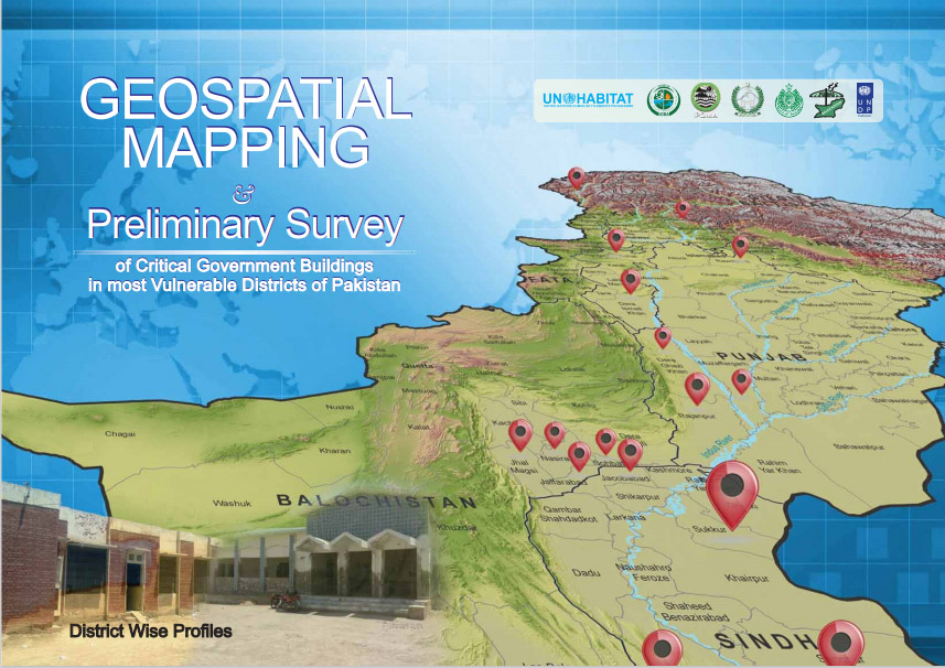 Pakistan is vulnerable to multiple disasters. The recent disasters especially floods and earthquakes pose enormmous threats to communities resulting in loss of lives and damage to public & private infrastructure. Congnizance of the fact, UN Habitat with financial support of United Nations Development Programme (UNDP) has completed a study on Geospatial Mapping and Preliminary Survey of 464 key Government Buildings in most vulnerable Districts of Pakistan. It presents vulnerability of surveyed buildings to earthquake and floods.
